
Welcome to the 911 Maps and Public GIS Data page.
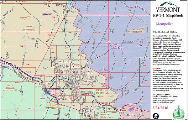
Use constraints: The 911 related data layers (Esites, Landmarks, Roads, Driveways, Footprints, Atlas Sheets, ESZ, etc.) were developed and designed for 911 purposes only. The user should understand that the nature of 911 data layers means they are never complete.
Each municipal government is responsible for maintenance of the 911 database. The responsibilities of the municipalities are listed here. Municipal 911 Coordinators contact info is listed here.
Please Read This Disclaimer
This Vermont 911 map viewers, and Public GIS data is for general reference only. The Vermont 911 Board and the State of Vermont make no representations of any kind, including but not limited to the warranties of merchantability or fitness for a particular use, nor are any such warranties to be implied with respect to the GIS data.
Questions
For questions email the 911 Database Department or call (802) 828-4911.